Note: as of early 2024, the Upper Sioux Agency State Park is permanently closed. The state of Minnesota has returned the land to the The Upper Sioux Community.
The Upper Sioux Agency State Park, near Granite Falls, contains the site of the Upper Sioux or Yellow Medicine Agency, the Indian agency created after the Traverse des Sioux Treaty of 1851. In the summer of 1862, the Yellow Medicine Agency was destroyed during the U.S.-Dakota War. The park was established in 1963 to preserve and interpret the remains of the old Agency site.
Some posts on MN Trips may contain affiliate links. If you buy something through one of those links, we may earn a small commission. As an Amazon associate, we earn from qualifying purchases.
Unfortunately for us, who visited in October 2020, the interpretive center housed in the Visitor Center at the entrance to the park is only open between Memorial Day and Labor Day. So we were left to learn about the history of the site only through a few placards that identify the sites of the original buildings. And, of those buildings, the only one remaining is a restored dormitory for Agency employees. Scattered around that building are some small vestiges of the other buildings that once stood on the site, with signs explaining their function. Without the Visitors Center being open, a very unsatisfying visit for those interested in Minnesota history.
So, we were left to explore the site purely as a venue for hiking. And we love a good hike.

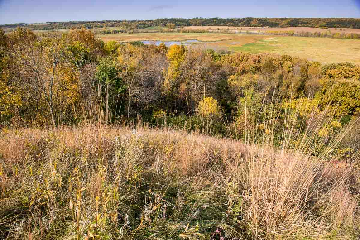
There are several hiking paths in the park that skirt the two rivers–the Minnesota and the Yellow Medicine–and the bluff that rises between them. We started by driving out the Valley Edge Trail, which is a gravel road that leads to a scenic overlook of the broad Minnesota River valley. After spending a few minutes on the high point looking off to the north and west, we walked down a mown path through the prairie a few hundred yards to join up with the Mink Trail that leads off to the east and follows the Yellow Medicine River along the south boundary of the park.
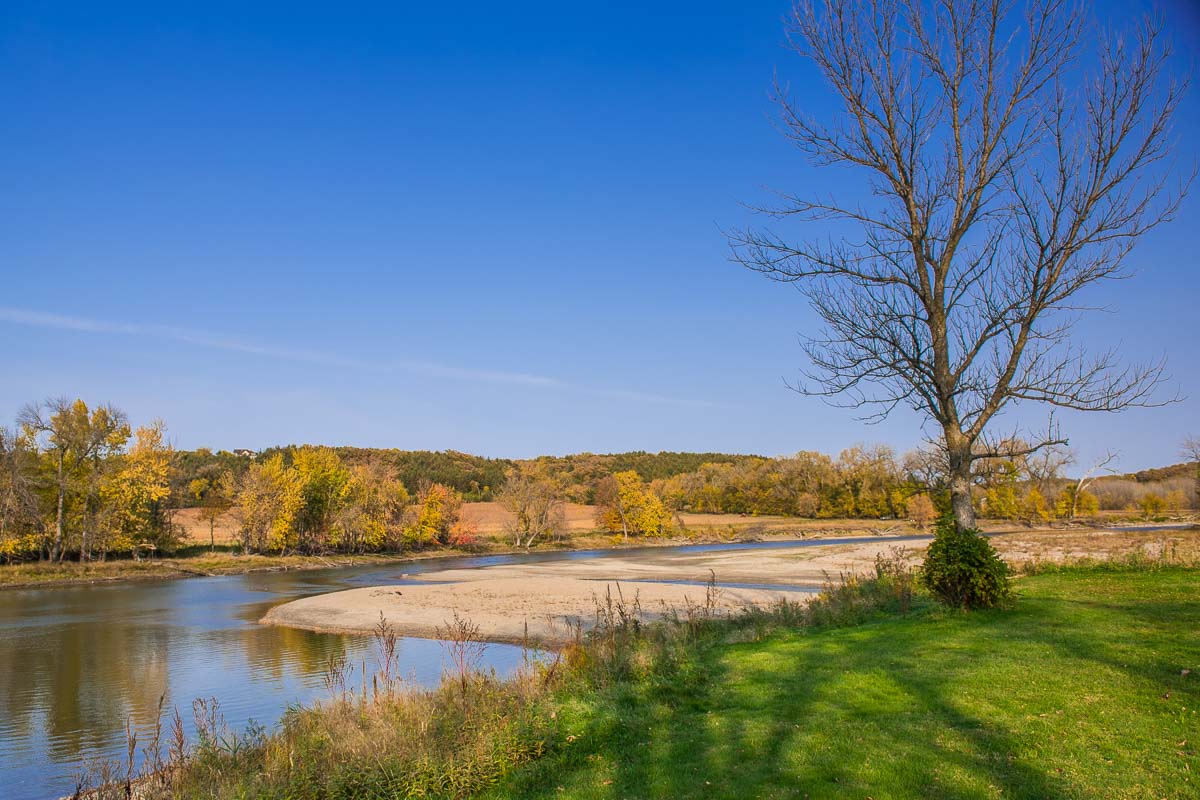
After about half a mile, the Mink Trail turns north, as does the Yellow Medicine, and you leave the river bank to cross a broad wetland to the point where the Yellow Medicine joins the Minnesota. That’s just short of a mile to the confluence of the two rivers at the northeast corner of the park. There’s a nice picnic area there where we stopped to sit for a bit.

At the confluence point, you have the choice of following the Minnesota River trail for 1.5 miles upstream, which takes you back to the Agency site, or return the way you came back up to the overlook. Since it was late in the day, we chose to return the way we’d come and forego the views of the river bank. If you take the Minnesota River Trail back to the west, it eventually joins up with the gravel Valley Edge Trail taking you back to the overlook site where we’d park. That’s about a five mile circuit.

There are two other paths you can take from the overlook, the Terrace Trail and the Wetland Trail, that both run east along the ridge under the overlook. Those, however, won’t take you down to the rivers but will give you extended views of the valley.
We’ll come back to the Upper Sioux Agency next summer when we can see the exhibits. When you plan your route of the Minnesota State Parks, be sure you do the same to get full enjoyment of this park. Be sure you check Visitor Center hours on the DNR website before you go. It’s open Friday evenings and Saturday and Sunday afternoons between Memorial Day and Labor Day weekends.
Here is a map of the hiking trails at Upper Sioux Agency State Park, and more information on its history.
If you are interested, a great primer to the Dakota-U.S. War of 1862 can be found in Kenneth Carley’s book The Dakota War of 1862: Minnesota’s Other Civil War, published by the Minnesota Historical Society. The book recounts the events of the war in great detail, starting with the 1851 Treaty.
Also, for more historical insight into the area, visit the Lac qui Parle Mission, which is upriver about 33 miles to the northwest.
More info from MNTrips
See the list of all Minnesota State Parks, including basic permit information. We also have a list of all Minnesota Historical Society sites. We’re adding our commentary for the park and historical sites as we visit them.
When you plan on hiking or biking the Minnesota State Parks, be sure to download the Avenza Maps app to your phone. The app allows you to download the trail maps for almost every state park, and they are invaluable for navigation, especially because many of the parks don’t have as many directional signs as they should.
Also, if you’re planning on camping at Minnesota State Parks, you’ll need a reservation. Here’s the online reservation form.
Check out our recommendations for what to carry in your hiking day pack when you check out the extensive Minnesota State Park and National Park system.
Some of the links on this page may be affiliate links, which means we may receive a small commission if purchases are made through those links. This adds no cost to our readers and helps us keep our site up and running. Our reputation is our most important asset, which is why we only provide completely honest and unbiased recommendations.
- Birding in Winnipeg - June 24, 2023
- 12 Museums to Visit in the Twin Cities - March 21, 2023
- Crosby Manitou State Park: A Tough Hike - July 27, 2022

