
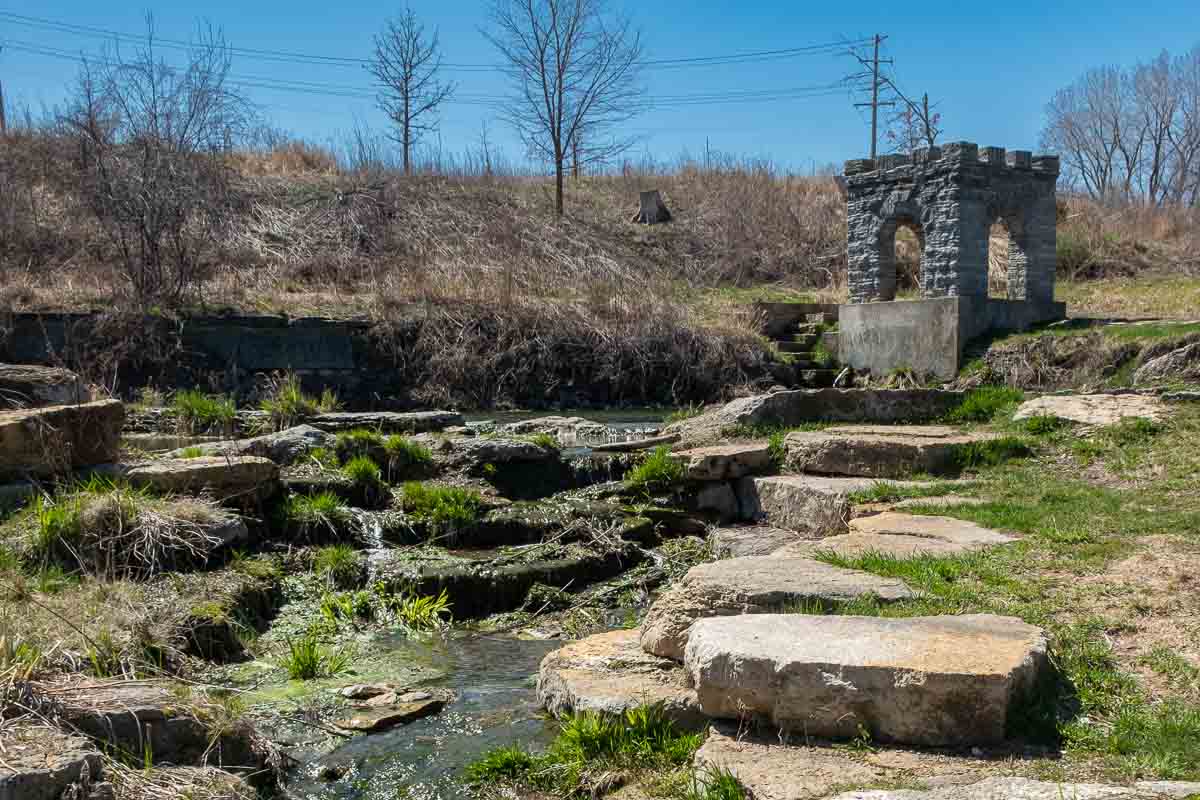
A little known footnote to the early history of Minnesota is the site of the Coldwater Spring in the southeast corner of Minneapolis, north of Fort Snelling. The site of the spring was made part of the National Park Service’s Mississippi National River and Recreation Area in 2012.
Originally, the area was an important crossroads for Native Americans and traders using both the Mississippi and Minnesota Rivers for commerce and travel. During the construction of Fort Snelling, United States soldiers camped at Coldwater Spring, making it the first American settlement in Minnesota.
Some posts on MN Trips may contain affiliate links. If you buy something through one of those links, we may earn a small commission. As an Amazon associate, we earn from qualifying purchases.
When construction of Fort Snelling was completed in 1825, the soldiers moved from Coldwater into the fort. The area around the spring, however, continued to attract traders and Native Americans, and a small village developed that serviced the trade at the site.
After the completion of Fort Snelling, the spring continued to provide water to the fort and the later Upper Post. The fort relied on horse-drawn water wagons and eventually railcars to deliver water from Coldwater Spring until the 1870s.
When the fort was expanded in the late 1870s, it required a more efficient water supply system and, in 1880, the Army established a formal waterworks at the spring. Coldwater served as the water source for the Army until the 1920s when the City of Saint Paul took over the water supply for the fort.
The park features a crushed limestone trail for walking from the parking area to Coldwater Spring.
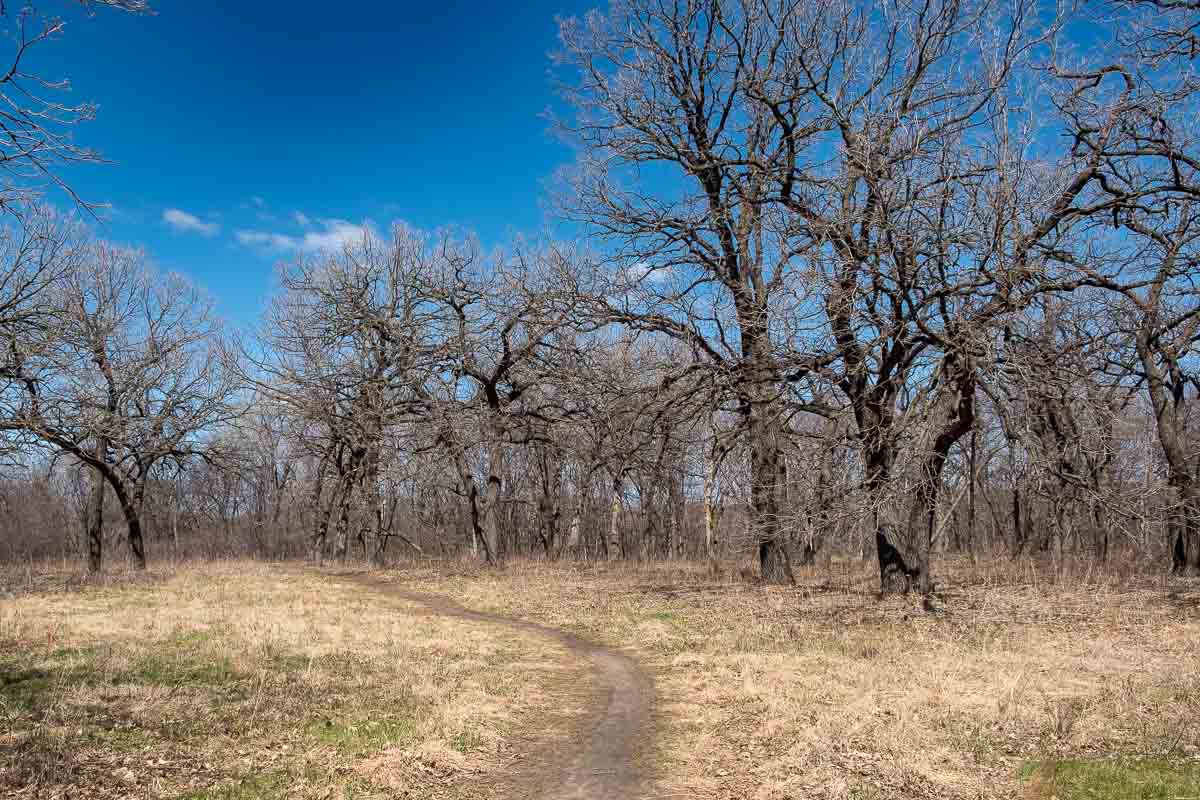
There are opportunities for wildlife viewing and photography. As you progress further down the path toward the south, the Minneapolis traffic noise is mostly muffled, and I heard a lot of birdcall on my one-hour walk. But the only animals I saw were the dogs of fellow walkers.
Birdwatching is touted as a popular activity at Coldwater Spring as the savanna/prairie restoration matures and attracts a larger number of species. The Park Service says that turkeys, deer, and coyotes are not uncommon. And, native wildflowers bloom throughout the growing season. I’ll have to come back to see all that.
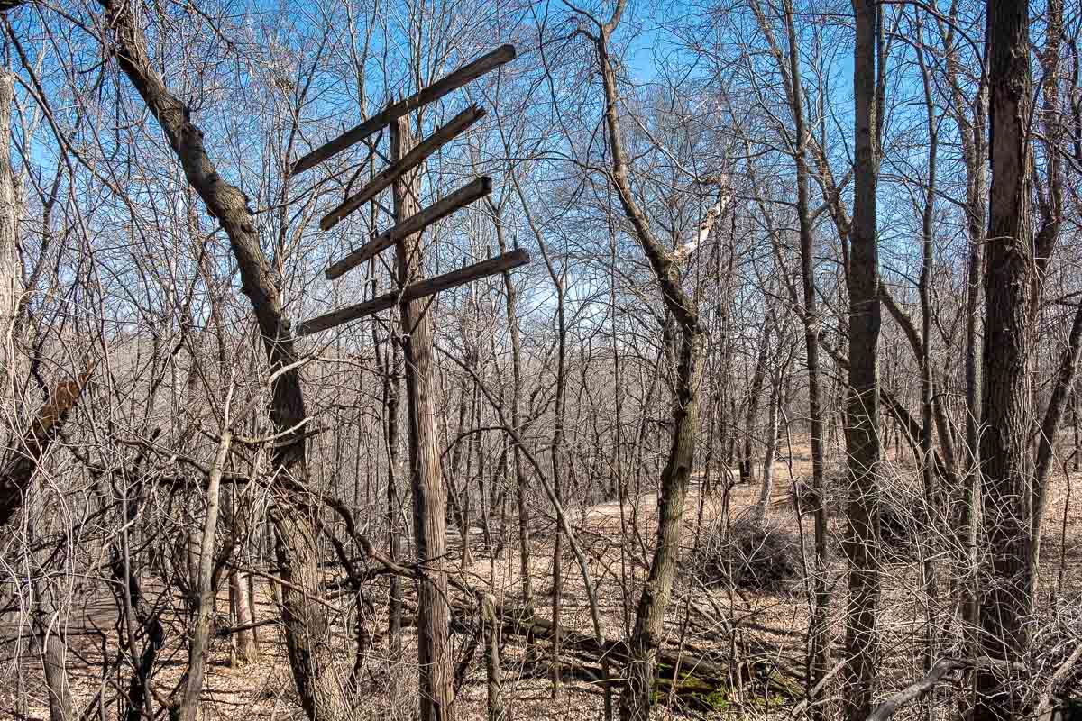
There are three mapped trails through the park, named for birds you hope to see. The Baltimore Oriole loop is half a mile long and takes you from the parking area to the spring site and back. It’s fairly flat and easy walking. The Scarlet Tanager loop is 1.2 miles, adding on a further loop south of the spring site. The longest loop is the Indigo Bunting loop that takes you further down toward Minnehaha Creek and the Mississippi, and includes a couple of spots where you’ll have to watch your step. Other than those spots, it’s also an easy hike.
The Indigo Bunting and Scarlet Tanager routes sometimes follow the ridge of the bluff overlooking Minnehaha Creek. If you want to, you can negotiate the steep incline in a couple of spots and go down to the Minnehaha Creek path and follow it to the Mississippi.
Visitors can find trail maps and information at the kiosk near the main entrance at the end of Minnehaha Park Drive South.
Only disability parking is available on the actual site. But Minnehaha Park Drive comes right to the edge of the site and parking is readily available on the street there. You’ll need the Minneapolis parking app on your phone or you can pay at the pay kiosks.
The address of Coldwater Spring, according to the National Park Service, is actually in Saint Paul, which can be a bit confusing. Use this location on Google Maps to actually get there.
More info from MNTrips
See the list of all Minnesota State Parks, including basic permit information. We also have a list of all Minnesota Historical Society sites. We’re adding our commentary for the park and historical sites as we visit them.
When you plan on hiking or biking the Minnesota State Parks, be sure to download the Avenza Maps app to your phone. The app allows you to download the trail maps for almost every state park, and they are invaluable for navigation, especially because many of the parks don’t have as many directional signs as they should.
Also, if you’re planning on camping at Minnesota State Parks, you’ll need a reservation. Here’s the online reservation form.
Check out our recommendations for what to carry in your hiking day pack when you check out the extensive Minnesota State Park and National Park system.
Some of the links on this page may be affiliate links, which means we may receive a small commission if purchases are made through those links. This adds no cost to our readers and helps us keep our site up and running. Our reputation is our most important asset, which is why we only provide completely honest and unbiased recommendations on products we actually use.

- Birding in Winnipeg - June 24, 2023
- 12 Museums to Visit in the Twin Cities - March 21, 2023
- Crosby Manitou State Park: A Tough Hike - July 27, 2022