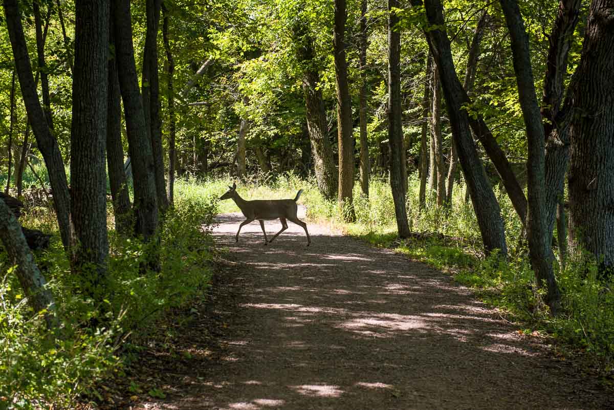
Lake Shetek is the largest lake in southwestern Minnesota and the Lake Shetek State Park that borders its east side makes for ample recreation opportunities.
I showed up in late morning at the entrance and asked the attendant for the best place to take a short hike. She recommended Loon Island, and I headed straight for it. To get there, drive to the end of the road to the boat landing parking lot. From there, you walk out of the lot to your right then curl around a bit to get to a stone and gravel causeway (built in the 1930s by the WPA) that leads out to the island, where a one-mile loop hike around the circumference of the island awaits.
Some posts on MN Trips may contain affiliate links. If you buy something through one of those links, we may earn a small commission. As an Amazon associate, we earn from qualifying purchases.
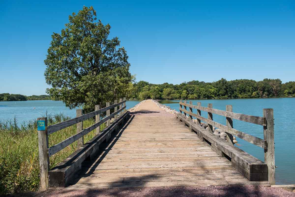
Once you get to the island and walk off to the right to start your circle, you’re met with several signs that describe the environment you’re walking through. Among the first things you’ll learn about Loon Island is that it’s misnamed. The early settlers to the Lake Shetek area noticed that certain birds were, according to them, diminishing the lake’s fish population so, in true early settler character, they undertook to eliminate the birds, which they were quite successful at. Ironically, the birds they endeavored to eliminate were cormorants, not loons. They were so successful that there are still no cormorants in the vicinity.
The other interesting fact is that Dutch Elm Disease killed off most of the island’s elm trees in the 1970s. This had the interesting side effect of attracting birds that nest in “cavities,” e.g. Downy and Red Headed Woodpeckers, and eventually, Chickadees, Wrens, and Fly Catchers. The woodpeckers supposedly have moved on, but the island did abound with the opportunity to see birds flitting about among, what we’re told, were a lot of Basswood Trees. The Basswood, we learned from another sign, flourished when the dead elms fell, leaving abundant sunny areas to the smaller trees.
As I said, the Loon Island route is about a mile and took a little less than an hour to cover the groomed level path and stop for signs and photos. But, since I had some more time, I came off the island and followed another path, this one to the left as you face the lake, from the boat landing parking lot.
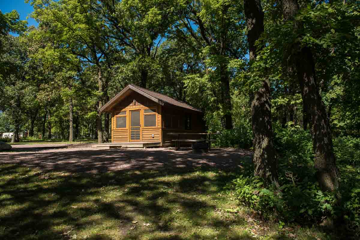
This wooded path along the main lake shore takes you about half a mile to the open picnic area and the camping area, where I saw multiple families setting up their tents on the marked spots right on the lake shore. (There are also cabins available for reservation, if you so desire; see below for the reservation link.)
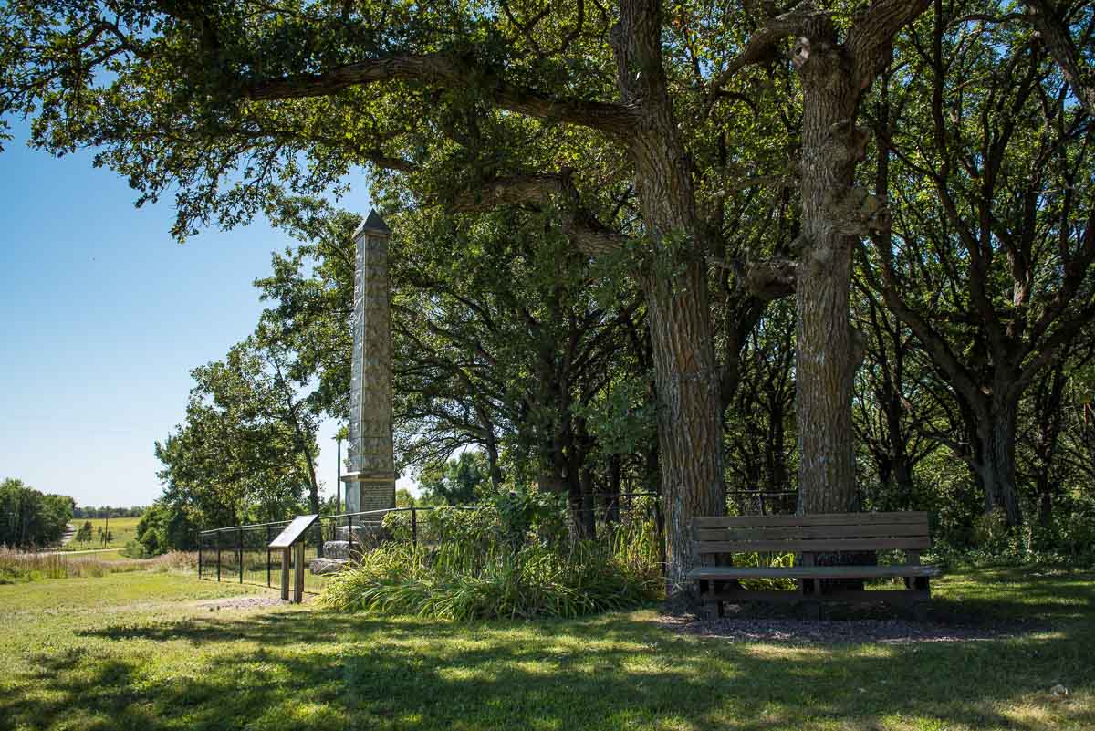
From there, you continue skirting the shore. The trail changes names to the Monument Trail, and you continue another half mile to the monument. The monument, erected in 1924, sits on the grave site of the settlers, mostly women and children, who were killed by the Dakota Indians in 1862. It’s a bit heartbreaking to read the names and ages of the children, some as young as two years old. You can read a bit more about the Dakota Wars in Minnesota here.
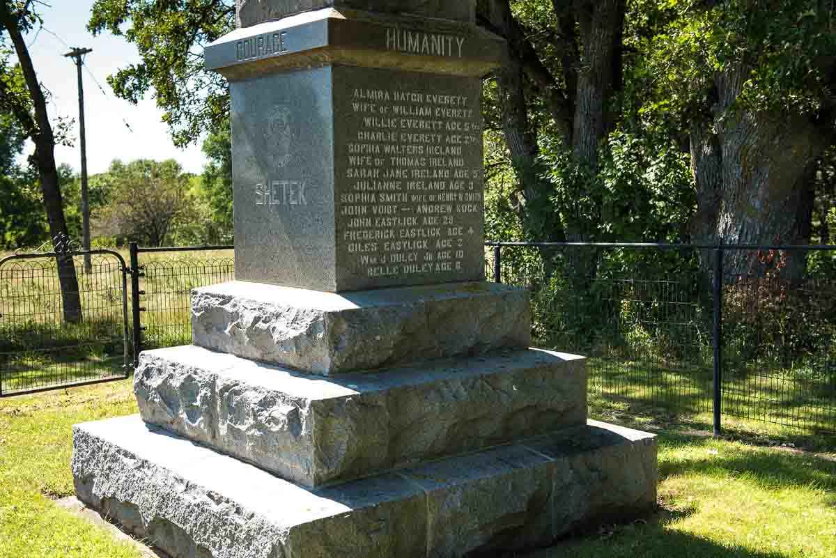
After spending some reflective time at the monument, you can backtrack to the boat landing parking lot, and, if you like, take a slightly different route that takes you a bit more inland before taking you back to the picnic area and back to your car. Alternatively, you can continue past the monument and pick up the trail that takes you another mile and a half around Smith Lake before you make your way back to the car.
While you’re in the area, consider visiting the Pipestone National Monument and the Jeffers Petroglyphs sites. Each is about 40 miles from Lake Shetek State Park, although in opposite directions. They’d make great day trips from your Shetek camp site.
More info from MNTrips
See the list of all Minnesota State Parks, including basic permit information. We also have a list of all Minnesota Historical Society sites. We’re adding our commentary for the park and historical sites as we visit them.
When you plan on hiking or biking the Minnesota State Parks, be sure to download the Avenza Maps app to your phone. The app allows you to download the trail maps for almost every state park, and they are invaluable for navigation, especially because many of the parks don’t have as many directional signs as they should.
Also, if you’re planning on camping at Minnesota State Parks, you’ll need a reservation. Here’s the online reservation form.
Check out our recommendations for what to carry in your hiking day pack when you check out the extensive Minnesota State Park and National Park system.
Some of the links on this page may be affiliate links, which means we may receive a small commission if purchases are made through those links. This adds no cost to our readers and helps us keep our site up and running. Our reputation is our most important asset, which is why we only provide completely honest and unbiased recommendations.
- Birding in Winnipeg - June 24, 2023
- 12 Museums to Visit in the Twin Cities - March 21, 2023
- Crosby Manitou State Park: A Tough Hike - July 27, 2022

